
Multi-mission support for environmental missions
The Joint Polar Satellite System (JPSS) Common Ground System supports the latest generation of U.S., European and Japanese polar-orbiting satellites designed to monitor global environmental conditions and collect and disseminate data related to weather, atmosphere and oceans.
The JPSS Common Ground System
The JPSS Common Ground System (CGS) is a flexible, cost-effective global system designed to support current and future weather and environmental sensing satellite missions. Since being deployed for the joint NOAA/NASA Suomi National Polar-orbiting Partnership (NPP) in 2011 and JPSS-1, now NOAA-20, in 2017. The JPSS CGS has provided unprecedented global observation capabilities for multiple missions.

JPSS CGS, built as a flexible, cost-effective global common ground system, currently supports several domestic and international weather and environmental sensing satellite missions, including:
- JPSS (Suomi NPP, JPSS-1 through JPSS- 4)
- DoD's Defense Meteorological Satellite Program (DMSP)
- JAXA's Global Change Observation Mission 1 (GCOM-W1)
- EUMETSAT's Meteorological Satellite Program (MetOp)
- National Science Foundation/United States Antarctic Program (NSF/USAP)
- U.S. Navy Windsat/Coriolis
- NASA Space Communications and Navigation (SCaN)
Designed to support future missions, the JPSS CGS is the most efficient and cost-effective solution to improve global environmental observational capabilities.
Raytheon's JPSS CGS provides the full common ground capability, from design and development through operations support and sustainment. JPSS CGS Block 2.0 benefits also include consolidated infrastructure for integration of multiple missions, reduced data latency for fresher observations, and a more flexible architecture that allows the system to protect individual missions while scaling to include new missions.
Ground terminals located at McMurdo Station and Queen Maud Land, Antarctica; Svalbard, Norway; Fairbanks, Alaska and White Sands, New Mexico, will decrease data latency by providing multiple sites for constellation data downlinks. Block 2.0 will allow the JPSS-1 satellite to downlink twice per orbit, once at the two polar receptors. Suomi NPP allows continuous data downlink once per orbit.
The JPSS Program
Developed by the National Aeronautics and Space Administration (NASA) for the National Oceanic and Atmospheric Administration (NOAA), the JPSS program integrates future civilian and military polar-orbiting environmental satellite space and ground segments with a single ground system. This new system represents a major upgrade to the existing Polar-orbiting Operational Environmental Satellites (POES), which have successfully served the operational weather forecasting community for nearly 50 years.
JPSS CGS is truly a globally deployed system, with:
- Primary and backup operations centers in Maryland and West Virginia.
- Ground receiving/transmitting stations in Norway, Antarctica, Alaska and New Mexico.
- Data service delivery points in Germany and Maryland.
- Support facilities in Colorado, Indianapolis and Maryland.
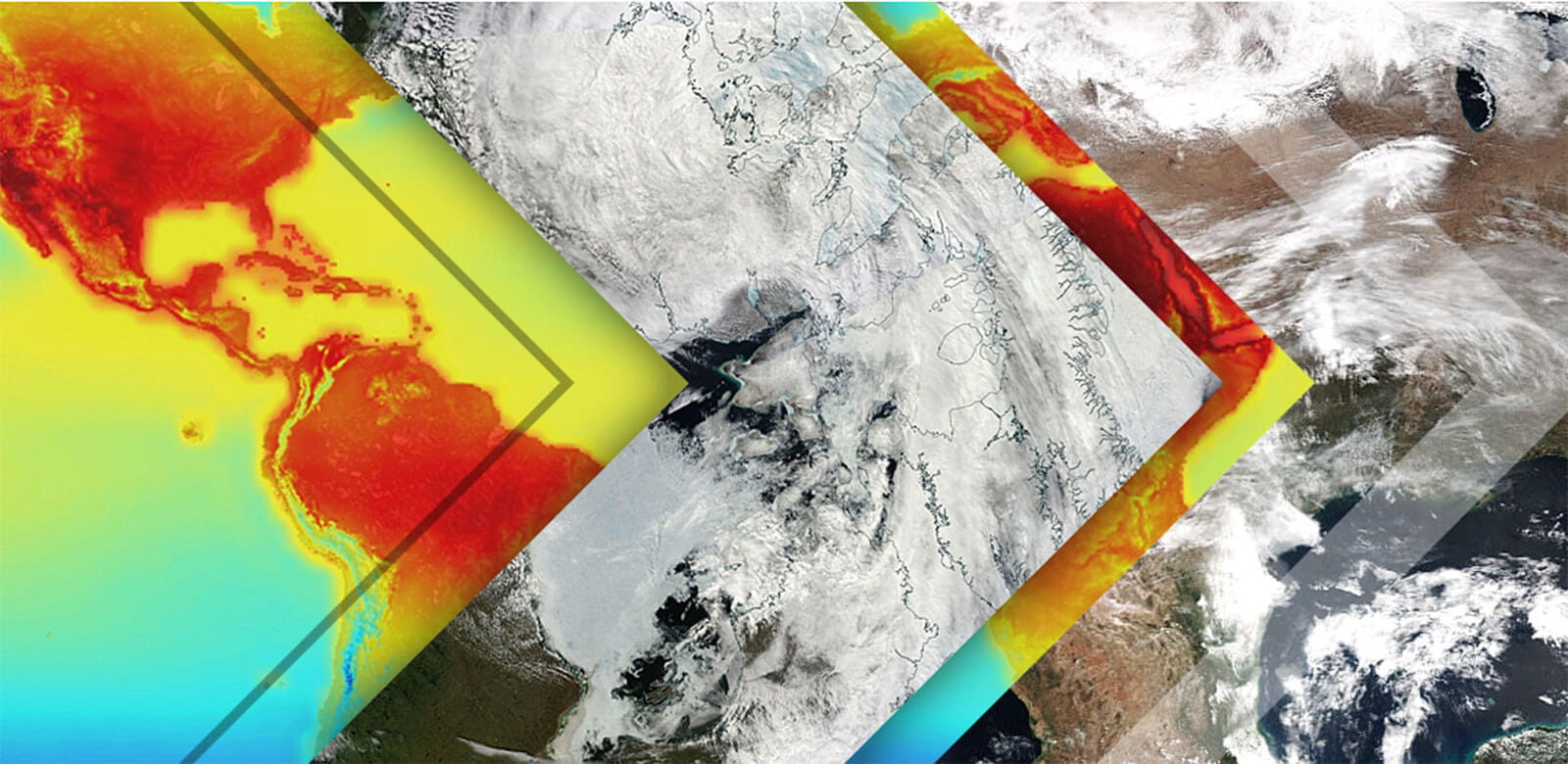
Owned and operated by NOAA, JPSS is an “end-to-end” system that includes sensors; spacecraft; command, control and communications; data routing; ground-based processing and dissemination of weather data to users around the globe, such as NOAA’s National Weather Service and the National Hurricane Center. The data provided by Suomi NPP and the JPSS satellites contribute to NASA's study of Earth climate trends.
JPSS polar orbiters carry a complement of advanced imaging and sounding sensors, which increase NOAA and DoD capabilities to monitor the entire planet and produce weather and climate predictions at a much higher fidelity and frequency. These advanced capabilities enable NOAA to better fulfill its mission to protect lives and property by increasing the timeliness and accuracy of public warnings and forecasts of weather and climate events.
JPSS CGS Delivers Crucial Data for National Weather Forecasts
Raytheon brings more than four decades of high-availability, reliable, precision-based, command-and-control systems experience to Suomi NPP and future JPSS missions. Providing critical data for Earth observation, Suomi NPP and JPSS-1 data is used to generate environmental data products, such as measurements of clouds, vegetation, ocean color and land and sea surface temperatures — all significant inputs to improve weather forecasting capabilities.
Value to the public
While Suomi NPP and JPSS will not prevent severe weather events such as hurricanes, tornadoes or blizzards from occurring, RTX advanced systems enable meteorologists and forecasters to make more timely and accurate weather predictions that support NOAA’s “Weather Ready Nation” campaign and help save lives, protect property and decrease the devastating economic impacts caused by severe weather.