
Changing the way we see earth
From 500 miles up in space, the Visible Infrared Imaging Radiometer Suite is changing the way we see Earth, and its value goes well beyond weather prediction. Its data is critical to industries as diverse as agriculture, finance, transportation, insurance and energy.
Raytheon’s VIIRS is a key instrument in the Joint Polar Satellite System, the nation's new generation polar-orbiting operational environmental satellite system. JPSS polar satellites circle the Earth from pole-to-pole, providing full global coverage twice a day. Because of their "around the Earth" orbit and ability to cover the entire globe every 14 hours, polar satellites give meteorologists detailed information on severe weather events that no other instrumentation can.
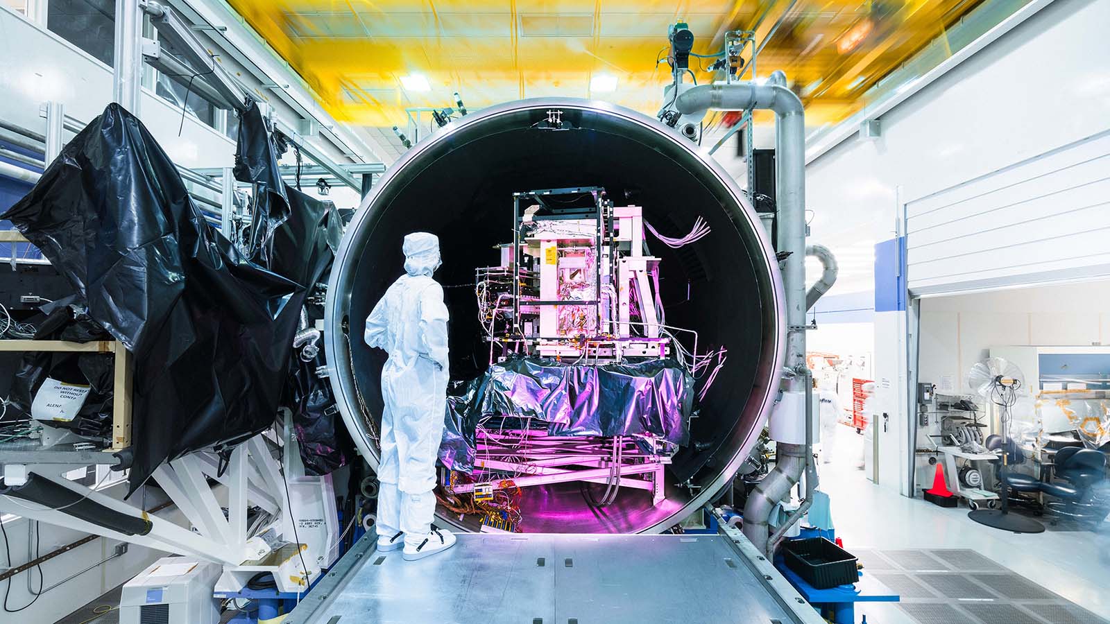
There are two VIIRS instruments on orbit today – Suomi National Polar-orbiting Partnership and NOAA-20 (formerly JPSS-1) – and the third instrument slated for JPSS-2 is ready to go.
VIIRS data supports a broad and diverse range of applications, some of which are still being discovered. In addition to providing highly detailed information on emerging global storm patterns, VIIRS generates high-fidelity sea, land and atmospheric data for a variety of other applied products, including monitoring of wildfires, drought, flooding, vegetation health, algal blooms and nighttime phenomena.