Raytheon Intelligence & Space to study designs that improve severe weather forecasting
Predicting when and where severe weather will strike to keep people safe
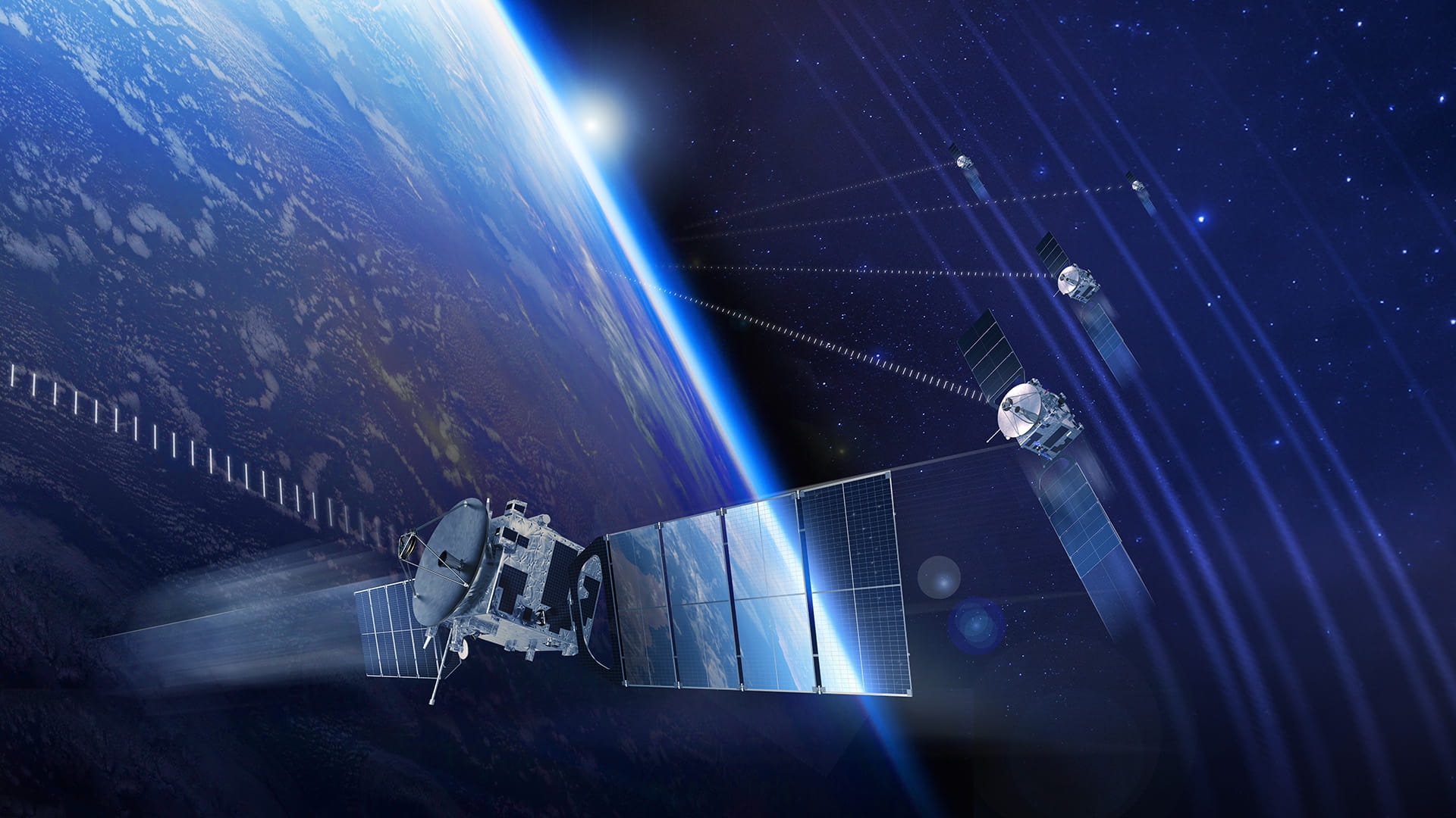
EL SEGUNDO, CALIF., (June 8, 2020) — Raytheon Intelligence & Space, a Raytheon Technologies business, was awarded a seven-month concept design study contract for the High-Resolution Infrared Sounder with the National Oceanic and Atmospheric Administration. HIRIS is a part of the sounder satellite initiative to look at different approaches and design configuration trade studies.
“Knowing when and where severe weather is likely to strike is key to keeping people and property safe,” said Wallis Laughrey, vice president of Space Systems for RI&S. “Forecasting severe weather relies on precise atmospheric measurements, like temperature and moisture, and that’s what a sounder provides.”
Sounders play an important role in providing atmospheric observations for short-term forecasts – minutes to hours to several days – and long-range global forecasts – seven to 14 days. An infrared sounder probes physical characteristics of the atmosphere, measuring how temperature varies with altitude at different locations.
“There are three critical factors to weather forecasting – atmospheric temperature, moisture and wind,” said Laughrey. “HIRIS covers two of the three, with wind being the exception. But, the data HIRIS collects will be good enough to generate high resolution 3D maps that will allow forecasters to better understand severe weather patterns.”
The real advantage with HIRIS is much higher spatial resolution, which microwave and other infrared sounders lack.
“Higher spatial resolution is key to a clearer look at cloud tops and along the dry line – where severe weather is likely to develop,” said Jeff Puschell, principal engineering fellow, Space Systems for RI&S. “The dry line divides the humid Gulf of Mexico air from the dry air that comes from the west over the Great Plains. With sounding, meteorologists can actually find weather developing in a specific dry line location, see it in 3D, and make more accurate weather predictions.”
The measurements HIRIS will be designed to take extend contributions typically seen from systems like RI&S-built Visible Infrared Imaging Radiometer Suite and Moderate Resolution Imaging Spectroradiometer. An option like HIRIS provides NOAA the ability to maintain data continuity with these instruments and others currently on orbit. Data continuity is important to ongoing climate change studies.
RI&S’ design options will offer higher spatial resolution, higher sensitivity, better spectral range and horizontal coverage. Following the HIRIS design study, NOAA may choose to build and launch a system.
For questions or to schedule an interview, please contact:
Dana Carroll
310.343.0511


